FORUM ARCHIVE — READ ONLY
Read-Only Archive — 68,067 posts · 4,889 threads · 2,978 members · preserved from 2006–2015
Name the Arizona trail
Jun 23, 2009 12:13 AM #21
Jun 23, 2009 01:10 AM #22
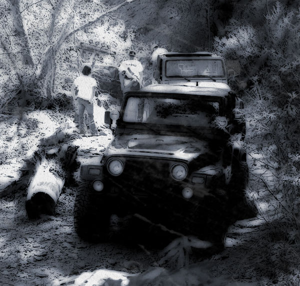
Martinez Cabins
???
???
Jun 23, 2009 01:31 AM #23
Good guess by the scene. Different area though
Jun 23, 2009 02:06 AM #24
Red Creek.
Jun 23, 2009 02:15 AM #25
Correct on northerness not dialed in East-West
Jun 23, 2009 02:58 AM #26
Skatchkins wrote:Correct on northerness not dialed in East-West
I'm going to head east and guess Sunflower Mine.
Jun 23, 2009 02:59 AM #27

Jun 23, 2009 03:00 AM #28
Poopers!
Jun 23, 2009 04:58 AM #29
Assuming I got it right with the confirmation drawing that Dana put together, I'll move on. This one should be a little more complicated.

Jun 23, 2009 06:42 AM #30
I guess Shultz Pass
Jun 23, 2009 12:18 PM #31
Skatchkins wrote:I guess Shultz Pass
You are way too north.
Jun 23, 2009 02:42 PM #32
Mingus Mountain
Jun 23, 2009 02:47 PM #33
Number 7 wrote:Mingus Mountain
Still way too far north. Try something like 200 miles south.
Jun 23, 2009 03:56 PM #34
Closer to Chiricahua National Monument?
Jun 23, 2009 04:09 PM #35
Skatchkins wrote:Closer to Chiricahua National Monument?
Now I think you went too far south.
Hint:
Jun 23, 2009 04:27 PM #36
Charouleau Gap?
Jun 23, 2009 04:33 PM #37
Skatchkins wrote:Charouleau Gap?
No.
Another hint:

Jun 23, 2009 04:36 PM #38
mt lemmon
Jun 23, 2009 04:39 PM #39
I think Chris is right for the win. V is prob looking for Oracle Control Road
Good hints :)
Good hints :)
Jun 23, 2009 04:45 PM #40
Yeah, you are close enough. We called it Back way to Mt. Lemmon, but I think it's also referred to as Oracle to Mt. Lemmon or just Mt. Lemmon.